
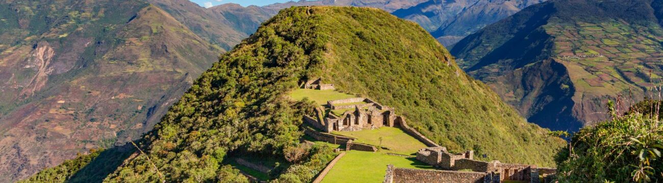
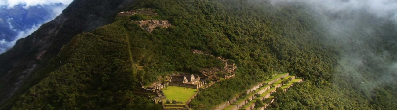


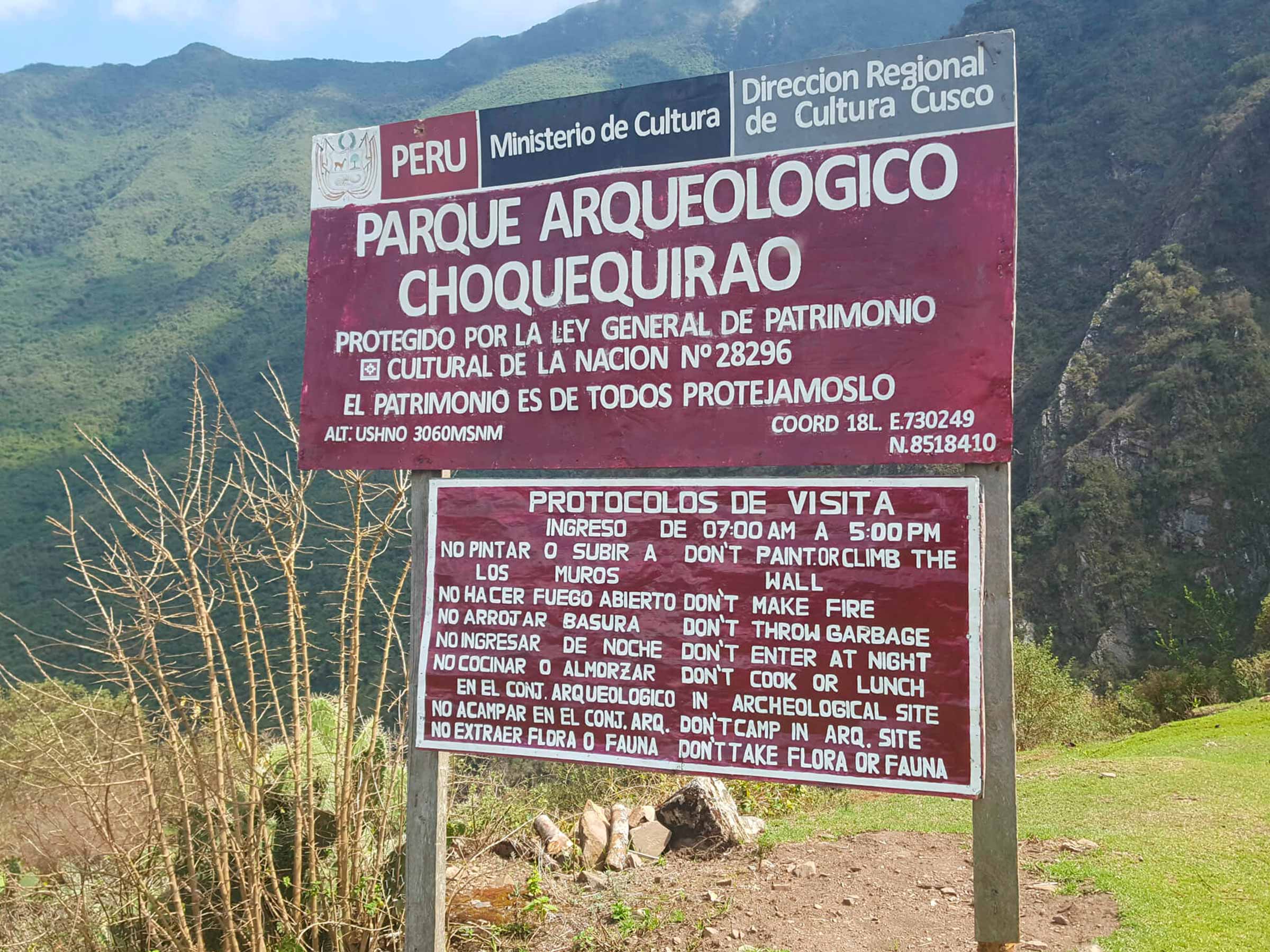
Choquequirao, is a lost city where the Incas took refuge from 1536. Located in the Vilcabamba Valley – La Convencion in the rainforest at 3300 meters above sea level.
This archaeological center is considered as important as Machu Picchu. The journey begins in the city of Cusco. After 145 km of asphalt road and 10 km of paved road we arrive to the town of San Pedro de Cachora, where the 32 km road starts, surrounded by imposing landscapes, on the route we can also appreciate the flora and fauna of the Apurimac Canyon, the deepest in the world, until we arrive to the “Golden Cradle” of the Incas.
We leave Cusco at 4:00 a.m. to arrive to Cachora at 8:00 a.m. approx. From this place we will be able to observe the majestic snowy Padrayoc which is at 5482 m.a.s.l. The hike on the first day is 21.70 Km. away. On the way we will observe the snow-capped peaks of Padrayoc and Wayna Cachora, observing the beautiful change of landscapes from precipices to snow-capped mountains. We will have lunch at Rosalinda beach from where we will observe the Apurimac canyon with its impressive depth, we will camp in Santa Rosa.
Meals: Lunch Dinner
Total distance: 12 km
Estimated time: 6 hours
Unevenness Positive 0
Negative Unevenness: 2850m.a.s.l. – 2115m.a.s.l. (- 735 m)
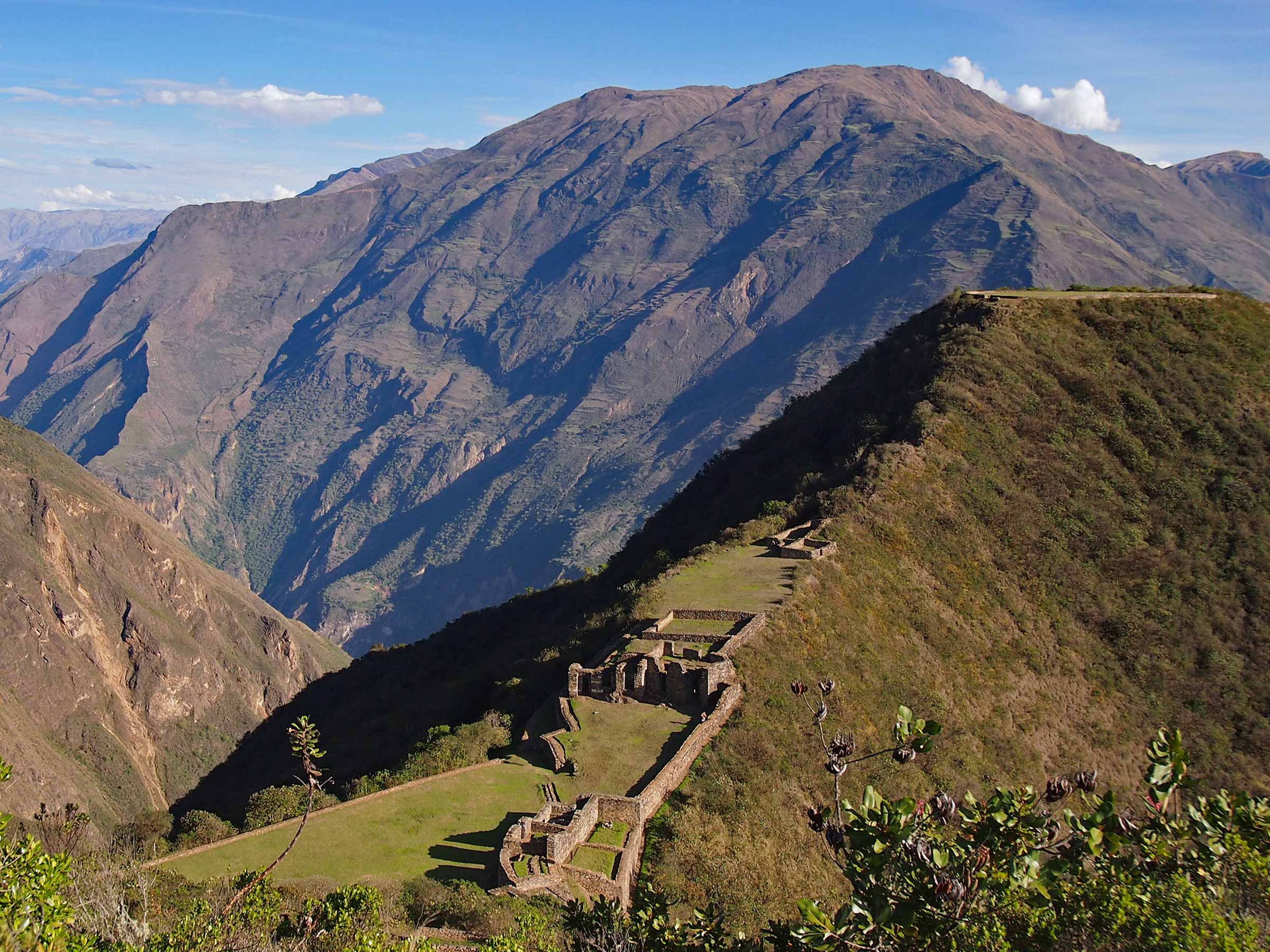
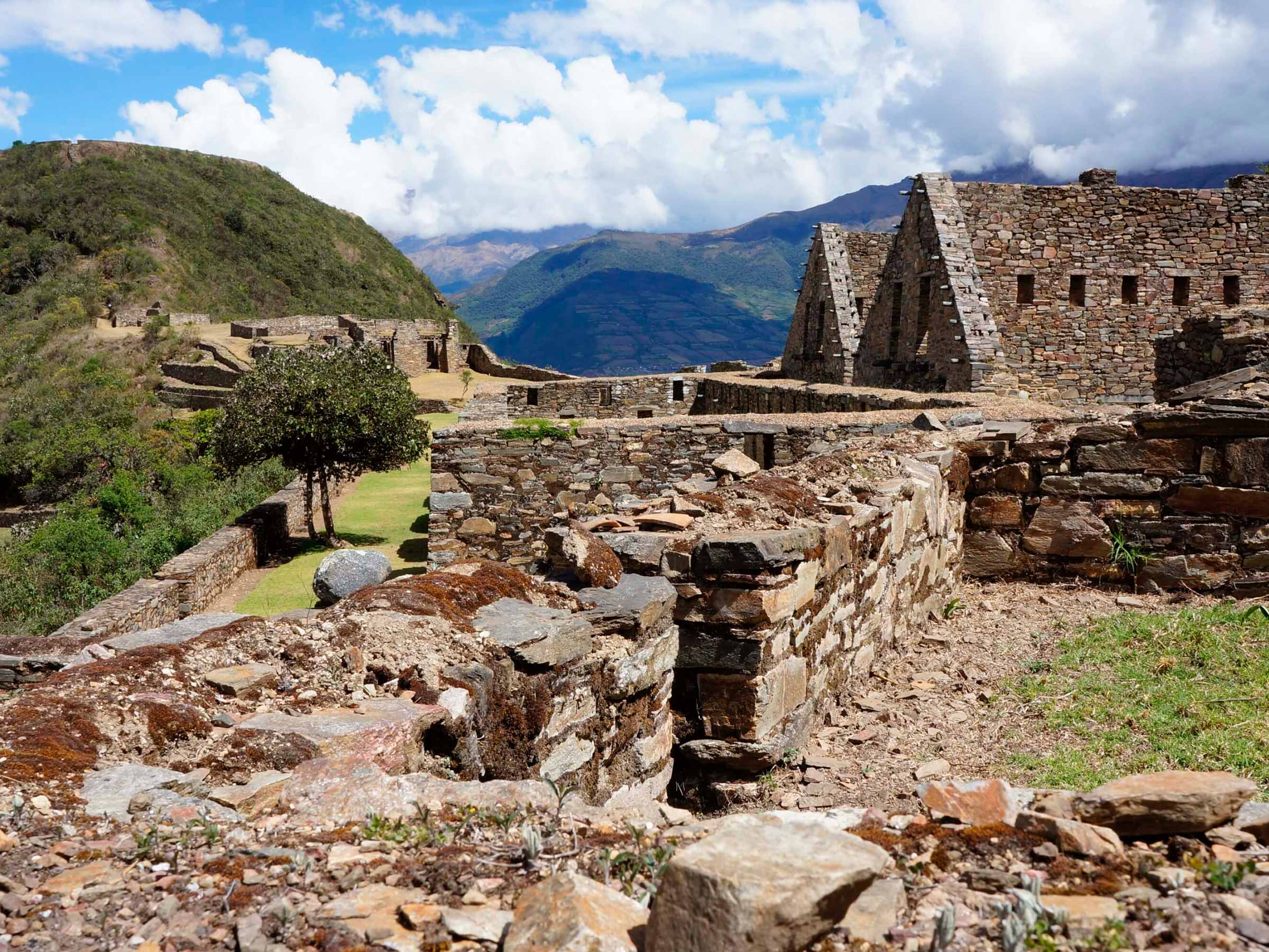
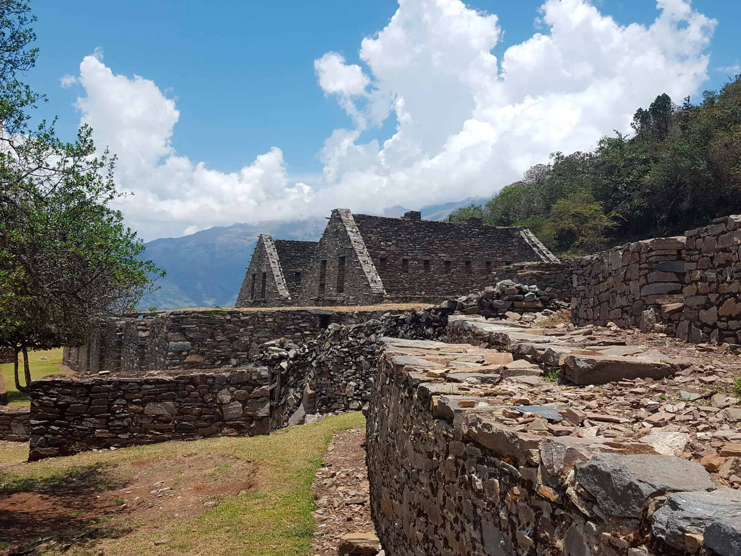
Early (5:00 am) after breakfast, we continue the ascent to Choquequirao, where we will arrive after 5 hours. Guided tour and free time. We will observe three levels of excavated ruins where we can appreciate enclosures, terraces and other places in the process of excavation and unexplored areas. Lunch and dinner in Raqaypata (2910 masl).
Meals: Breakfast Lunch Dinner
Total distance: 13 km
Estimated time: 8 hours
Positive Unevenness: 2850m.a.s.l. – 3270m.a.s.l. ( +420m)
Negative Unevenness: 3270m.a.s.l – 2910m.a.s.l ( – 360 m)
After breakfast we hike back to Chiquisqa. On the way we observe the Apurimac canyon, as well as lush vegetation and a variety of flowers and orchids. Hiking time is approximately 10 hours. Altitude: 1950 masl. Lunch at Playa Rosalinda and then we continue to Chiquisqa. Here we will spend the night in our camp.
Meals: Breakfast Lunch Dinner
Total distance: 12 km
Estimated time: 7 hours
Positive Unevenness: 0
Negative Unevenness: 2910m.a.s.l. – 1930m.a.s.l. ( – 980 m)
Early, after breakfast (5:00 am), we continue until we reach Cachora. On the hike we will be able to appreciate again the majestic snow-capped mountain of Padrayoc. The walking time to get to Cachora is approximately 7 hours. Then we take the transport that will return us to Cusco at approximately 10 pm.
Meals: Breakfast Lunch
Total distance: 8 km
Estimated time: 5 hours
Positive Unevenness: 1930m.a.s.l. – 2850m.a.s.l. ( +920 m)
Negative Unevenness: 0
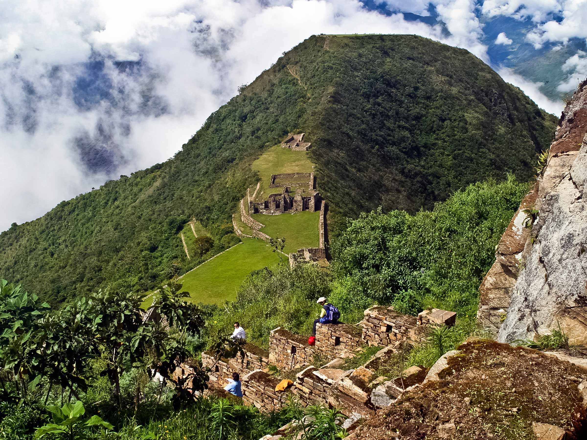
This trekking experience has a distance of 60 kilometers, for 4 days, takes place in one of the deepest canyons in the world, the one formed by the Apurímac River, between 1,500 and 3,100 meters above sea level, through narrow and zigzag trails, facing majestic snow-capped peaks and terrifying precipices, with wonderful landscapes and vegetation that ranges from the ichu of the puna to tropical ferns, but that can only be done if you have the advice of a specialized guide.
Choquequirao “Cradle of Gold” by its translation into Spanish is a recently discovered archaeological complex where a series of impressive and unique Inca remains, terraces, worship centers and others were found, located in the middle of the jungle and bordered by the Apurímac river canyon It is a walking alternative that allows you to discover wide natural settings. The walk begins in the town of Cachora and ends there.
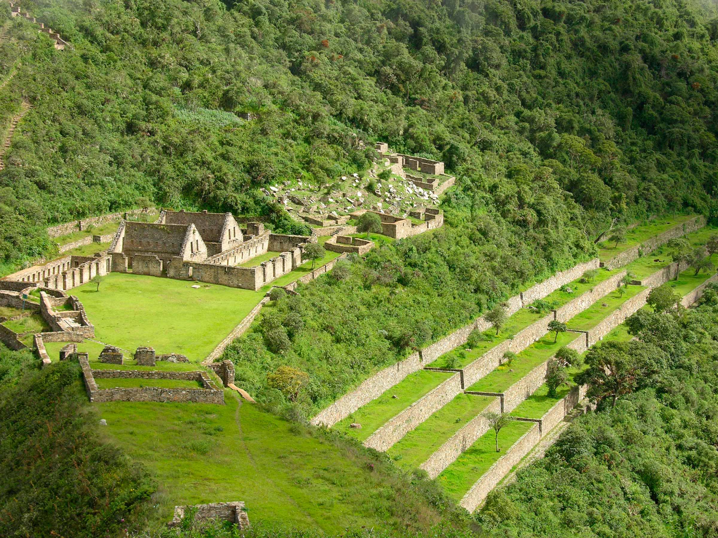
Choquequirao Even though only 30 percent of the complex’s 1,810 hectares have been salvaged, it is possible to assume that Choquequirao was more than a fortress, it was a religious site. Due to its location, it is likely that it was the most important religious center and that it was occupied by priests and those consecrated to the divinities. Paintings and cemeteries have been found that would confirm this theory. Choquequirao is arranged in nine zones built as small villages around a large plaza where all the roads from each zone meet. It has been possible to locate the upper plaza (Hanan), the deposits (Qolqa), the main plaza (Huaqaypata), the lower plaza (Hurin), the system of cultivation platforms adjacent to the main plaza (Chaqra Anden), the ceremonial platform (Ushno) and the dwelling of the priests at the bottom of the hill. For this reason, it is presumed that Choquequirao was a great political and economic center, which served as a commercial and cultural enclave between the coast, mountains and jungle.
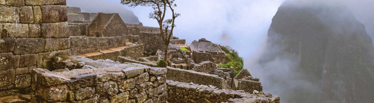
Choquequirao has multiple two-story buildings with niches inside. In addition to some doors and niches made with adobe jambs and irrigation canals. The material that was used are stones edged with mud mortar. There are 22 recordings on these stones with figures known as “Llamas del Sol” arranged on 15 platforms in the direction of the snowy Qory Hauyrachina, Choquequirao has a large system of platforms, a characteristic of the Inca towns, which helped in the agricultural use of the mountains. slopes of the hills, and that currently, in the eyes of visitors, look like flats carpeted by the vegetation of the area. According to historian Luis Guillermo Lumbreras, Choquequirao gives the impression of having been a growing urban center, part of a much larger project that remained unfinished.
IMPORTANT: